EU Space Programme showcased in Portugal's Search and Rescue Exercise
Yesterday, a workshop and search and rescue exercise held in Portugal underscored the pivotal role that the European Union's Space Programme plays in enhancing maritime emergency response capabilities. The Satellite-Based Services for Disaster Risk Management Workshop took place on May 14th at the Lisbon Naval Base in Alfeite, organized by EUSPA and Eurisy in collaboration with the Portuguese Space Agency and the Portuguese Navy.
The workshop served as a platform for satellite service providers, government entities, researchers, civil society organizations, and private companies to convene and explore the potential of satellite applications across various phases of emergency risk management. Admiral Henrique Gouveia e Melo, Chief of the General Staff of the Portuguese Navy and National Maritime Authority opened the event together Ana Paiva, Secretary of State for Science and Rodrigo da Costa, EUSPA Executive Director, alongside other stakeholders.
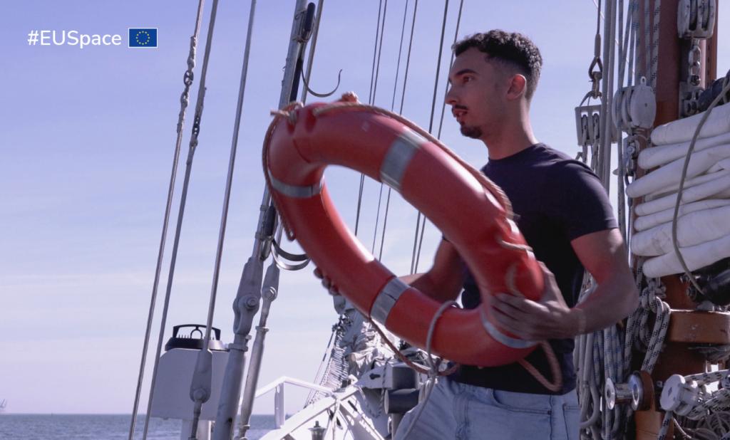
Search and Rescue Simulation
Concurrently, the Portuguese Navy conducted a search and rescue simulation utilizing a Galileo Personal Location Beacon (PLB) equipped with the Return Link Service (RLS). After the activation of the beacon, the Lisbon Maritime Search and Rescue Coordination Center (MRCC Lisbon) received the message of the distress signal in less than 2 minutes, allowing the initiation of the necessary prompt rescue operations with an accurate position. The exercise confirmed the effectiveness of Galileo in facilitating swift and precise responses to maritime emergencies and its excellent performance.
Synergy of EU Space Programme Components
EUSPA emphasized the synergy among various components of the EU Space Programme, including Galileo, EGNOS, Copernicus, Secure SATCOM and EU SST, in bolstering emergency management and disaster response efforts. Galileo and EGNOS provide precise positioning and navigation services, while Copernicus offers invaluable Earth observation data for early warning and situational awareness. Additionally, GOVSATCOM will furnish secure and resilient communication capabilities crucial for coordinating rescue missions and delivering real-time information to response teams on the ground as explained by Georgios Synnefakis, EUSPA GOVSATCOM programme manager.
At the workshop, experts highlighted the EU Space Programme's pivotal role in mitigating other disasters like wildfires. By leveraging Copernicus data and GNSS-equipped drones, fire departments can proactively combat potential outbreaks. However, they stressed the importance of complementarity between space-based tools and ground-level responders. Effective disaster mitigation relies on the collaborative efforts of civil protection workers, ensuring that satellite technology translates into actionable responses on the ground. This synergy maximizes the impact of space-enabled solutions, safeguarding communities and environments more effectively.
The successful workshop and search and rescue simulation in Portugal underscored the indispensable role of the EU Space Programme in safeguarding maritime operations and enhancing emergency response capabilities. ‘By harnessing satellite technology and fostering collaboration among stakeholders, the EU continues to advance its commitment to ensuring the safety and security of its citizens, both on land and at sea’, underlined Rodrigo da Costa, EUSPA Executive Director.
Media note: This feature can be republished without charge provided the European Union Agency for the Space Programme (EUSPA) is acknowledged as the source at the top or the bottom of the story. You must request permission before you use any of the photographs on the site. If you republish, we would be grateful if you could link back to the EUSPA website.