Reviving Ecosystems: How Galileo High Accuracy Service aids Galápagos tortoise reintroduction
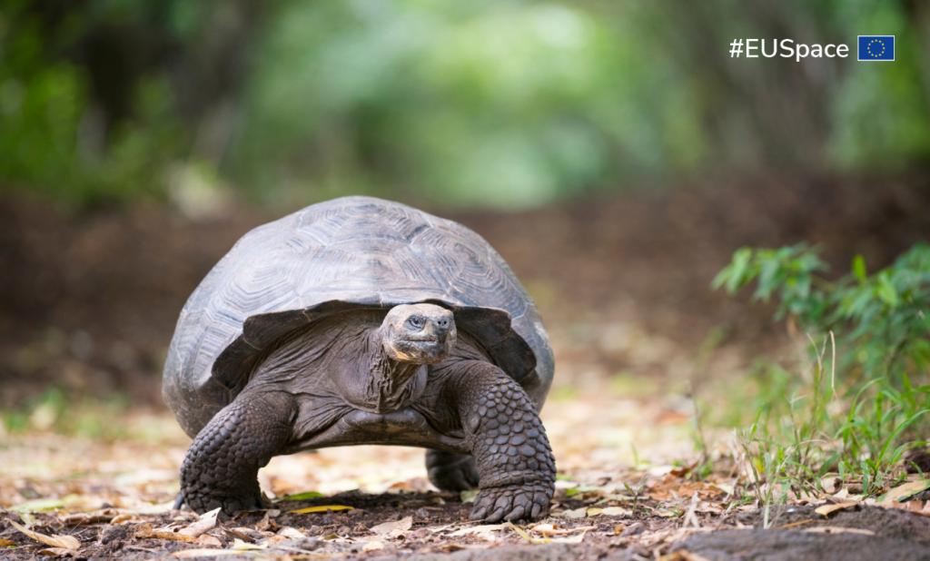
In an ambitious ecological restoration project on Santa Fe Island in the Galápagos, the Galileo High Accuracy Service (HAS) played a critical role. Utilising drone operations with Galileo HAS, ecologist Charles Lehnen from the University of Southern California is exploring the ecological impact of reintroducing the Española Island tortoises following the extinction of the native Santa Fe tortoises. This significant research, part of the Galápagos Program Initiative, aims to restore the ecological balance on the island disrupted by species loss.
Role of Galileo HAS in the Research
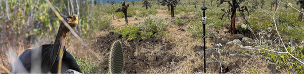
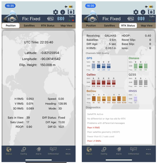
Central to Lehnen’s methodology is the employment of a receiver integrated with Galileo HAS to establish precise Ground Control Points (GCPs). With the help of Galileo HAS, Lehnen’s drone operations achieve an unprecedented five-centimetre-level accuracy after 30 minutes of convergence, a significant improvement over traditional methods. This level of precision is pivotal for accurately mapping the island and monitoring ecological changes over time.
Application of HAS in Drone Technology
Accurate positioning is vital in the drones’ multispectral imaging tasks. Equipped with advanced sensors, the drones rely on accurate location data from HAS to geo-reference their captured imagery. This capability is essential for mapping the flora distribution and monitoring the activities of the introduced Española Island tortoises and native Santa Fe land iguanas. The imagery is critical for assessing changes in vegetation and the dynamics of the island's ecosystem since the tortoises' reintroduction.
Benefits of using Galileo HAS
The benefits of using Galileo HAS in this project are multiple. Not only does the service facilitate detailed surveys and ecological mapping with higher accuracy, but it also ensures precise recording of interactions between the tortoises and iguanas. Unlike other systems, the data is transmitted directly via Galileo satellite signals, eliminating the need for an internet connection. This level of detail supports more effective conservation strategies and enhances understanding of the ecological impacts of the reintroduction efforts. Lehnen's study showcases how high-accuracy satellite data can drive forward ecological research and conservation, making it a cornerstone for modern environmental management strategies.
For further details on this innovative research, you can access the original article here.
Media note: This feature can be republished without charge provided the European Union Agency for the Space Programme (EUSPA) is acknowledged as the source at the top or the bottom of the story. You must request permission before you use any of the photographs on the site. If you republish, we would be grateful if you could link back to the EUSPA website (http://www.euspa.europa.eu).