Make EU Space your first mate
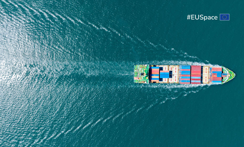
Celebrated on the last Thursday of September, World Maritime Day is a chance to highlight the importance of shipping safety, maritime security and the marine environment. Considering the increasingly important role that the EU Space Programme plays in all three, it seems appropriate that the theme of this year’s edition is Navigating the future: safety first!
“Whether it be a pleasure boat, a cargo ship or something in-between, no matter how you choose to set sail, EU Space is there to help keep you safe,” says EUSPA Executive Director Rodrigo da Costa.
Let’s start with Galileo, Europe’s GNSS programme. An important tool in maritime transportation, Galileo’s increased accuracy, coverage and resiliency enables better estimation of vessel location – This estimation both reduces the risk of collision and ensures more efficient and sustainable manoeuvrings.
But Galileo is more than just positioning accuracy, it’s also the first GNSS constellation to offer Search and Rescue (SAR) capability.
Galileo saves lives
The Galileo SAR service contributes to life-saving efforts at sea by swiftly relaying radio beacon distress signals to relevant crews by means of dedicated payloads onboard Galileo satellites, supported by three ground stations strategically deployed across Europe.
But what really sets this service apart is its unique Return Link Service (RLS).
This groundbreaking service adds a return link alert to the SAR that informs a sender that their distress alert has been received. Specifically, the RLS sends a message back to the distress beacon, that can be shown in the beacon as a blinking light, verifying that the distress signal has been received by emergency first responders and the location established.
“Galileo is the only GNSS constellation to offer such a return link service – a service that has proven to increase survival rates by giving an important psychological boost to people in distress,” explains da Costa.
The Galileo SAR service is fully integrated into the COSPAS-SARSAT system, an international satellite-based SAR distress alert detection and information distribution system. It is estimated that, thanks to the full contribution of the Galileo SAR, COSPAS-SARSAT can save more than 2,000 lives a year.
Introducing ESMAS
Although originally designed for the aviation sector, EGNOS, Europe’s regional Satellite-based Augmentation System (SBAS), now benefits maritime users too.
Take for example the recently launched EGNOS Safety of Life Assisted Service for Maritime Users (ESMAS).
The ESMAS offers a service tailored to maritime users to enable marine navigation in harbour entrances, harbour approaches and coastal waters of the European Union Member States and EGNOS contributing countries (Iceland, Norway and Switzerland) in line with IMO Resolution A.1046.
Designed to complement ground-based augmented signals such as Differential Navigation Satellite System (DGNSS), ESMAS adds another layer of protection against errors while also increasing the accuracy and ensuring the integrity of the GNSS signal.
In addition to extending the benefits of the current Safety of Life service to maritime users, ESMAS also delivers system integrity information via a dedicated channel for broadcasting maritime safety information in accordance with the International Convention for the Safety of Life at Sea (SOLAS). SOLAS is widely regarded as the most important international treaty concerning the safety of merchant ships.
Because it does not require any additional infrastructure, ESMAS is well-positioned to support navigation in oceans and coastal waters, including harbour approaches and entrances. All that is needed to utilise the service is an SBAS-enabled GNSS receiver that is compliant with the standard IEC-61108-7, which is referred to in the Commission Implementing Regulation (EU) 2024/1975.
Secure SATCOM and Earth Observation play important roles too
Beyond GNSS, secure SATCOM and Earth Observation also play important roles in the maritime arena. As to the former, GOVSATCOM will provide secure, cost-efficient communication capabilities to security and safety-critical missions, operations and infrastructure, while Copernicus, Europe’s Earth Observation programme, provides the data needed to evaluate the state of the sea, currents and temperature.
Media note: This feature can be republished without charge provided the European Union Agency for the Space Programme (EUSPA) is acknowledged as the source at the top or the bottom of the story. You must request permission before you use any of the photographs on the site. If you republish, we would be grateful if you could link back to the EUSPA website (http://www.euspa.europa.eu).